 |
UPSTREAM GUIDE
|
… it’s cherishing something local
that everybody can have in common,
and to me a thing like that can’t go wrong.
It’s just a little narrow walkway, scaled right,
but it’s an enormously suggestive thing.
–Wendell Berry about the River Walk |
|
 |
How to Use this Guide
|
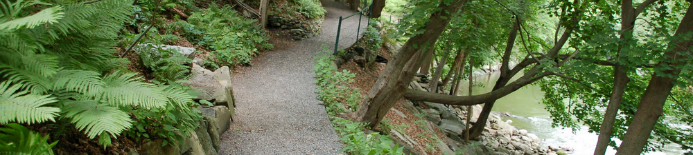
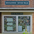
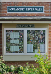
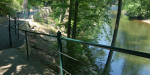
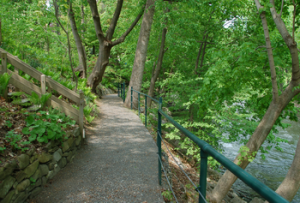
| River Walk follows the west bank of the Housatonic River between Cottage Street and Bridge Street. The trail’s two sections are linked by Dresser Avenue and River Street. The upstream section extends from the River Walk bulletin board at 195 Main Street to the William Stanley Overlook. The trail exits at the stairs to St. Peter’s Church parking lot on Dresser Avenue. The downstream section of the trail begins adjacent to the Berkshire Corporation parking lot on River Street and ends at Bridge Street.
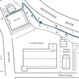
Thirteen points of interest are shown on the River Walk maps—the Upstream Map shows sites A through F, and the Downstream Map shows sites G through M.
We begin at site A at the River Walk entrance on Main Street.
CLICK to download the full 50-page guide. Or read highlights below. |
|
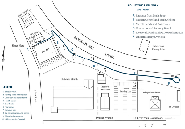
Click Map for High Resolution PDF
|
|
 |
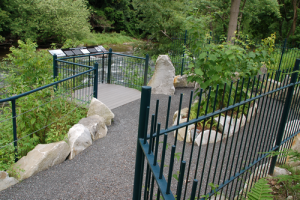
A Entrance from Main Street
|
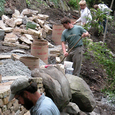
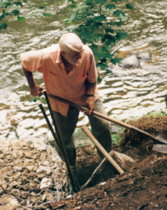
| You are about to enter River Walk at the bulletin board and through the gate at 195 Main Street. Work of the River Walk began here in 1988 when sixteen volunteers removed fifteen tons of accumulated rubbish and demolition debris from the riverbank. This section of the guide describes the impact of industry on the river and the conditions our volunteers face when clearing a new section of trail.
|
|
 |
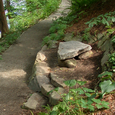
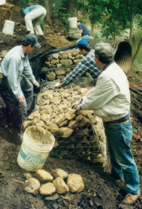
B Erosion Control and Trail Cribbing
|
| This site was occupied by Melvin’s Prescription Pharmacy when the building was gutted by fire in 1978, and pushed over the riverbank. Here, a massive clean-up effort removed over seventy-five tons of demolition debris and storm-damaged trees before volunteers, under the leadership of Peter Jensen, created the first 136 feet of trail and took measures to mitigate stormwater, control erosion and provide irrigation to the steep, fragile riverbank. The low stone bench is dedicated to the memories of Comstock Small, Bill Barrett, and Bob Mills, River Walk’s most valued volunteers.
|
|
 |
C Marble Bench and Boardwalk
|
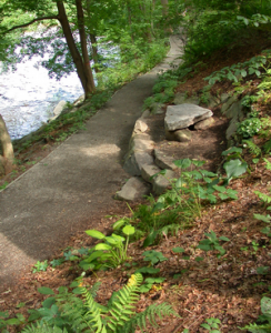
| Here, you can see our efforts, led by Heather Cupo and the late Monica Schultz Fadding, to reclaim a biodiverse community of native plant life by replacing non-native, invasive exotics such oriental bittersweet, Norway maple, garlic mustard and celandine polly with native woodland species such as viburnum and witch-hazel. Native plants contribute to surface water quality by shading and cooling the river and by preventing erosion and siltation on the riverbank. As you walk along the boardwalk with decking made from post-consumer recycled TrexTM, you are proceeding to the grounds of St. Peter’s Catholic Church.
|
|
 |
D Flowforms and Secundy Bench
|
| Below the trail are three concrete sculpted Flowforms that receive water runoff from a storm drain on Main Street, then direct the flow through a pattern that aerates and helps purify the water before it reaches the Housatonic. As you approach the stone sitting area created by friends of Jim Secundy in his memory, a service trail is framed by a wattle fence constructed under the leadership of Wendy Jensen.
To learn more, read: “Group weighs fundraiser to replace cracked Housatonic River ‘flowform’” by Heather Bellow on April 23, 2018. Berkshire Eagle or DOWNLOAD.
|
|
 |
E River Walk Finds and Native Reclamation
|
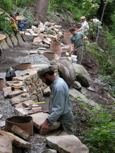
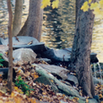
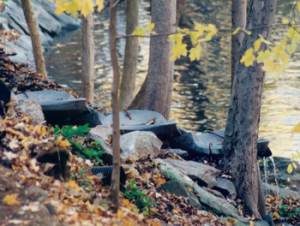
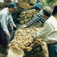
| Much of the trail here is constructed of gabion baskets, geotextile and gravel. Volunteers loaded fifty-two tons of rocks into the twenty-six gabions along the trail. Here, they removed more than ten tons of assorted household rubbish, including Spam and Schaefer beer cans from the 1950’s, assorted shoes and plumbing parts. Votive candle shards, plastic flowers, and slate roofing tiles were taken from behind the church. Perfume bottles, decanters, and boxes of cigars were removed from the old Melvin’s Pharmacy, together with a 1961 Town of Great Barrington bicentennial coin and a large concrete safe. You can exit the stairs and make your way to the downstream River Walk, or continue along the upstream trail.
|
|
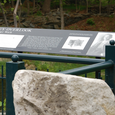 |
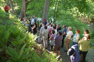
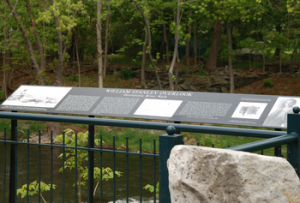
F William Stanley Overlook
|
| On the opposite bank of the river, in 1886, electrical inventor William Stanley developed his alternating-current transformer in Horace Day’s rubberwear factory, whose foundation is just visible from where you stand. From here, Stanley ran wires across the river to light stores and offices on Great Barrington’s Main Street. Stanley’s innovation allowed efficient, long-distance transmission of power. He went on to establish a manufactory of transformers and other electrical products in Pittsfield in the 1890s that evolved into General electric (GE). Ironically, a later innovation in power transformer production incorporated polychlorinated biphenyls (PCBs), the reckless handling and disposal of which contaminated the Housatonic River.
|
|
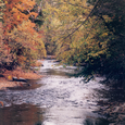 |
The Housatonic River
|
| The Housatonic River flows 150 miles from four sources in western Massachusetts, passing through the Berkshires and western Connecticut before it empties into long Island Sound. The watershed, or land area that drains into the river, encompasses 1,948 square miles and includes hundreds of rivers and streams. |
Excerpts by Wendell Berry reprinted with permission from U.S. Catholic magazine, Claretian Publications, www.uscatholic.org, 800-328-6515. Excerpts by W. E. B. Du Bois, 1920, Darkwater; 1930, “The Housatonic River Speech,” Berkshire Courier; 1960, to Ronald Linder, Berkshire Courier; 1961, reprinted with permission of the family of the late George P. Fitzpatrick.
|
|